Rod Sardari’s video also demonstrates why using county names alone can cause problems in Tableau, since many county names are not unique (for example, Dallas County exists in multiple states), leading to “unknown” locations. The solution is to use Census GEOIDs: standardised five-digit county codes where the first two digits identify the state and the last three identify the county. By assigning the GEOID field a Geographic Role of County in Tableau, you can accurately map all counties without missing or ambiguous values.
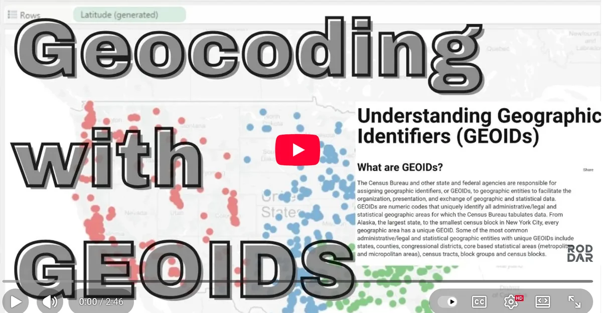

Tableau Training on
Tap Fast Track

Tableau Advanced Analyst

Tableau
Foundation