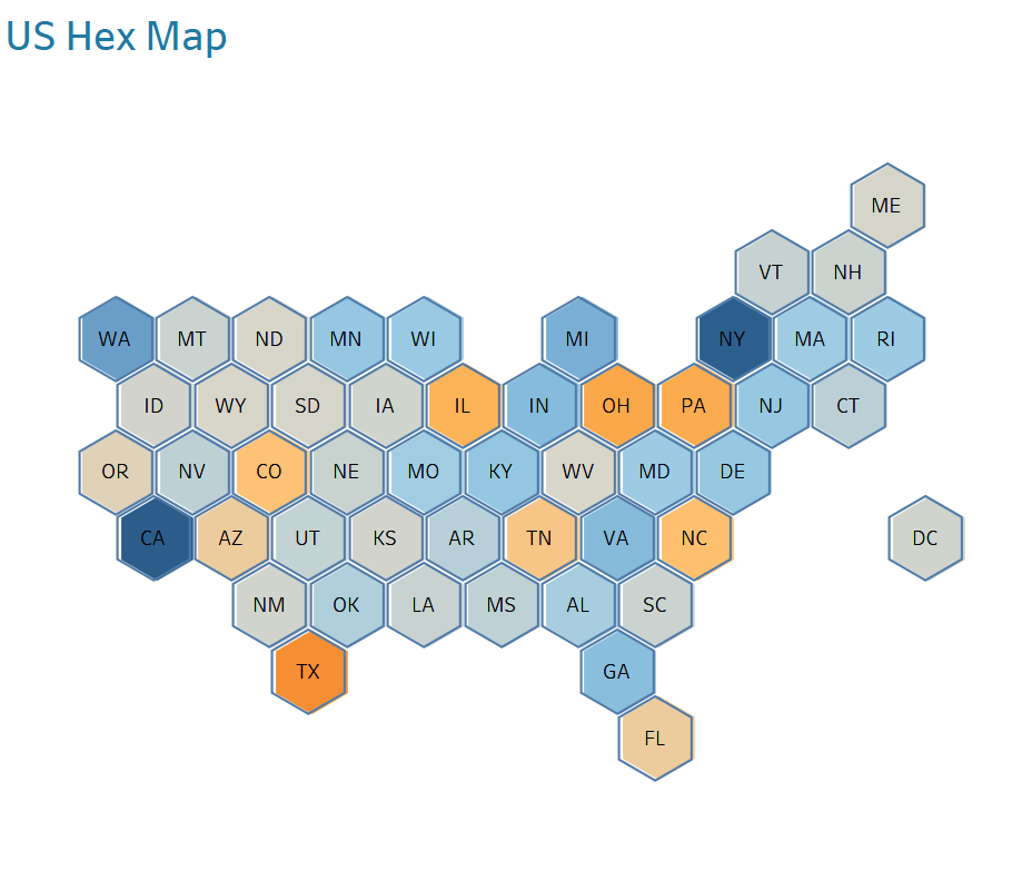
Here, with Jeffrey A. Shaffer, we explore a method of quickly creating a Hex Map using Custom Geocoding in Tableau. Hex Maps are tile maps that are used to represent data on a geographic basis. This method allows us to easily create and customise our own Hex Map.
We can also use other tools such as Google Maps Platform, Open Route Service API and ggplot2 to further customise our Hex Map. With these tools, we can reverse geocode our map and join it with data from other sources. This makes it easier for us to visualise our data in an intuitive way that helps us gain insights into our data more effectively.


